UN
99 The Walronds
£ 169,000
Description
We don't have a Description for this property.
- Bedrooms
- 3
- Bathrooms
- 0
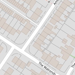
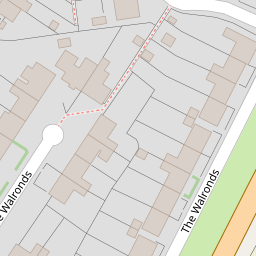

Leaflet © OpenStreetMap contributors
The heatmap indicates the level of crime in the area. The color of the heatmap indicates the crime severity and recency.
Metrics Year-on-Year
- Average area value
- 351,666.00 £Increased by 21.10 %
- Average area rental value
- 986.00 £/moIncreased by 4.67 %
- Est rental Yield
- 3.36 %Decreased by 13.62 %
- Crime Rate
- 12.00 %Unchanged by 0.00 %
from 290,383.00 £
from 942.00 £/mo
from 3.89 %
from 12.00 %
Nearby Schools
| Name | Type | Ofsted | Distance |
|---|---|---|---|
| Ace Tiverton Special School | Free Schools Special | 0.35 KM | |
| Heathcoat Primary School | Foundation School | Good | 0.43 KM |
| St John'S Catholic Primary School | Academy Converter | Requires improvement | 0.98 KM |
| Castle Primary School | Foundation School | Good | 1.33 KM |
| Tiverton High School | Foundation School | Good | 1.49 KM |
Images
Nearby Streets
| Name | Average Price | Average Sqft | Distance |
|---|---|---|---|
| Amory Road | £ 0 | 0 | 0.00 KM |
| Collipriest Road | £ 0 | 0 | 0.00 KM |
| St Paul Street | £ 185,000 | 0 | 0.00 KM |
| St Paul's Square | £ 0 | 0 | 0.00 KM |
| Morville Place | £ 0 | 0 | 0.00 KM |
Nearby Listings
| Address | Price | Type | Score | Distance |
|---|---|---|---|---|
| The Walronds, TIVERTON, Devon | £ 350,000 | BUY | 7 / 10 | 0.01 KM |
| Big extended half house/ half bungalow | £ 250,000 | BUY | 5 / 10 | 0.07 KM |
| Narrow Lane, Tiverton | £ 230,000 | BUY | 5 / 10 | 0.16 KM |
| Guardian Court, Worthing, BN13 2EE | £ 130,000 | BUY | 6 / 10 | 0.19 KM |
| Narrow Lane, Tiverton | £ 230,000 | BUY | 6 / 10 | 0.19 KM |
Nearby Properties
| Address | Price | Distance |
|---|---|---|
| 105 The Walronds | £ 225,000 | 0.00 KM |
| 106 The Walronds | £ 250,000 | 0.00 KM |
| 99 The Walronds | £ 169,000 | 0.00 KM |
| 3 Amory Road | £ 237,500 | 0.06 KM |
| 10 Amory Road | £ 179,000 | 0.06 KM |